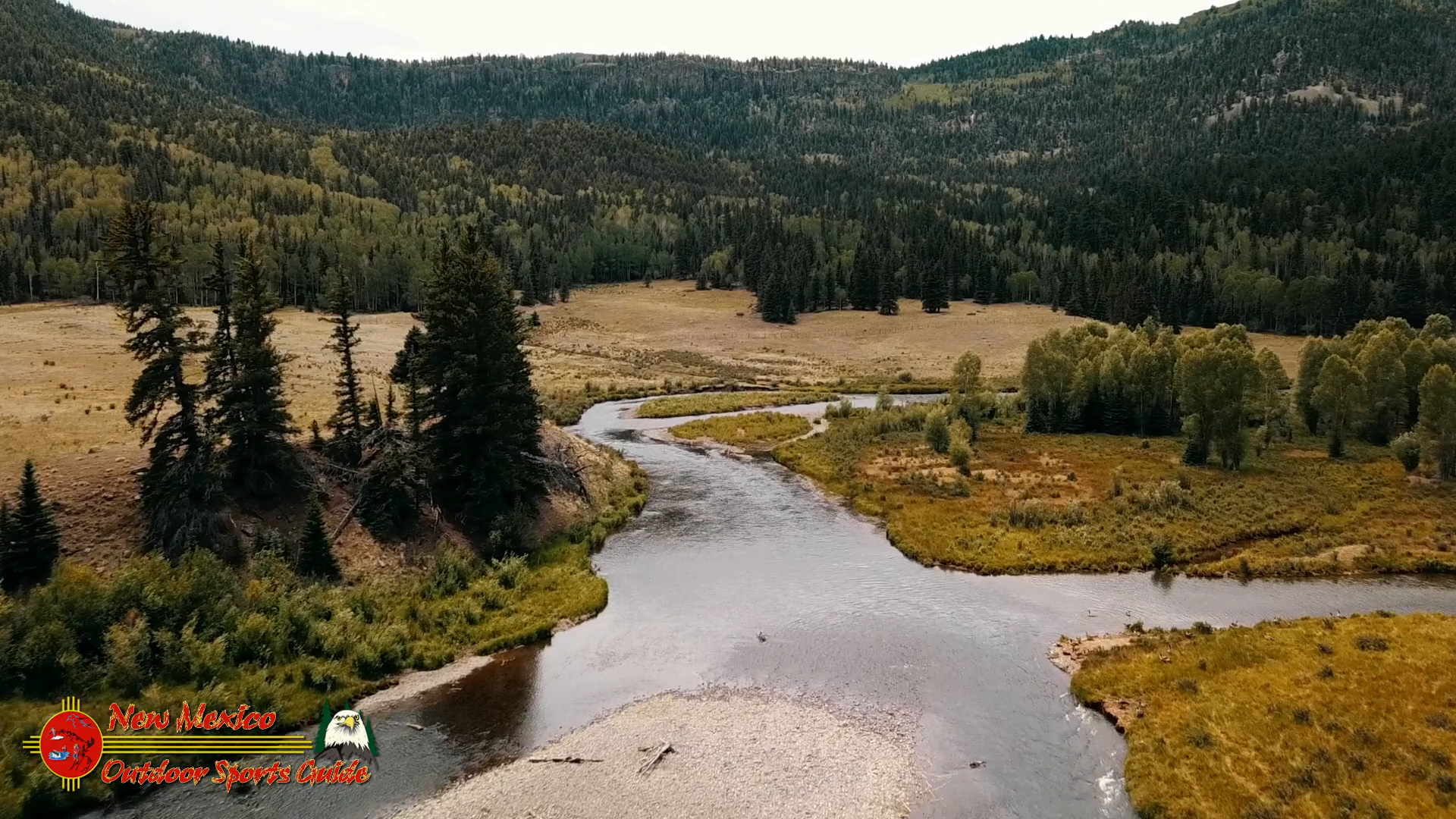
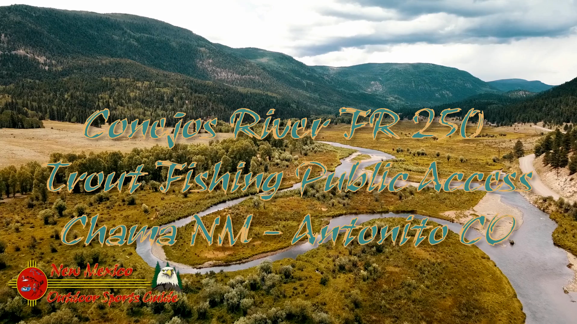
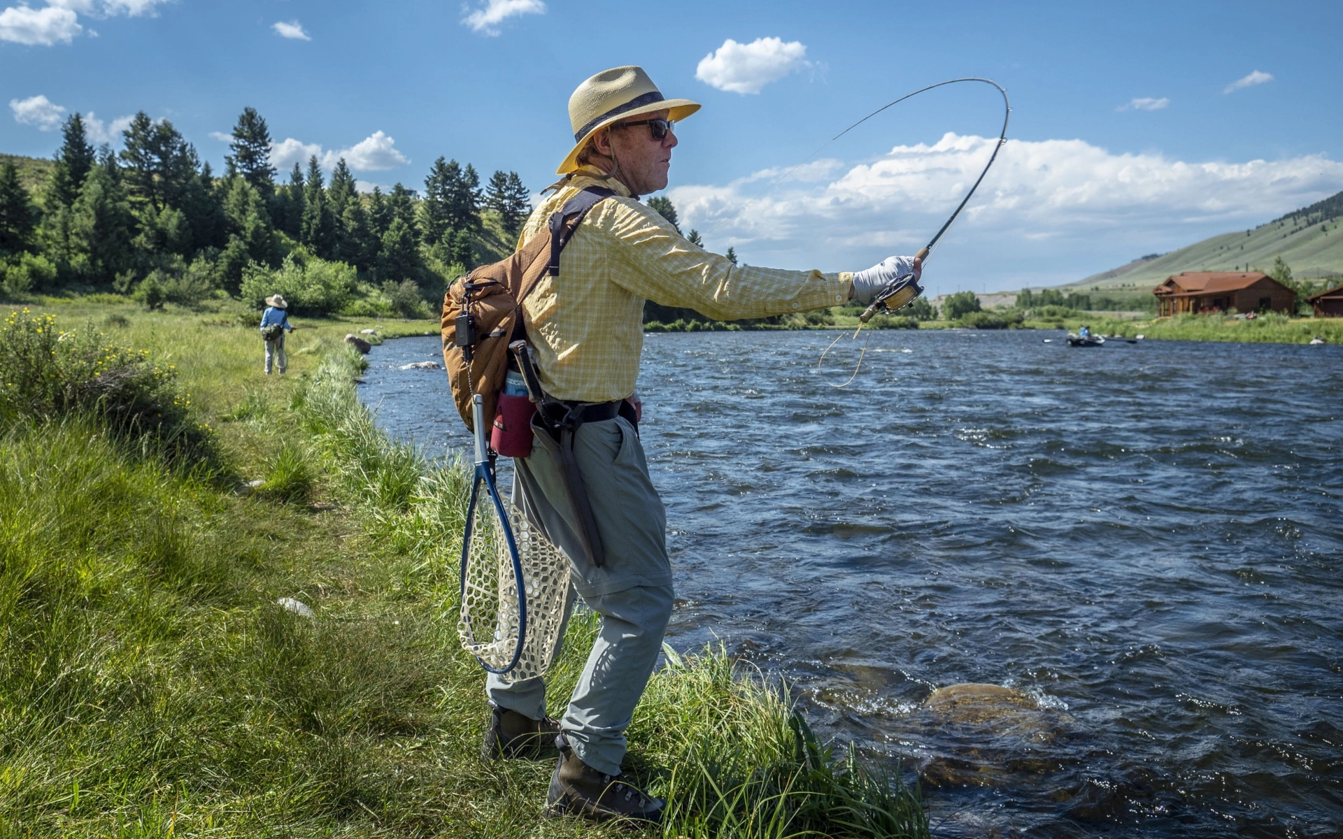
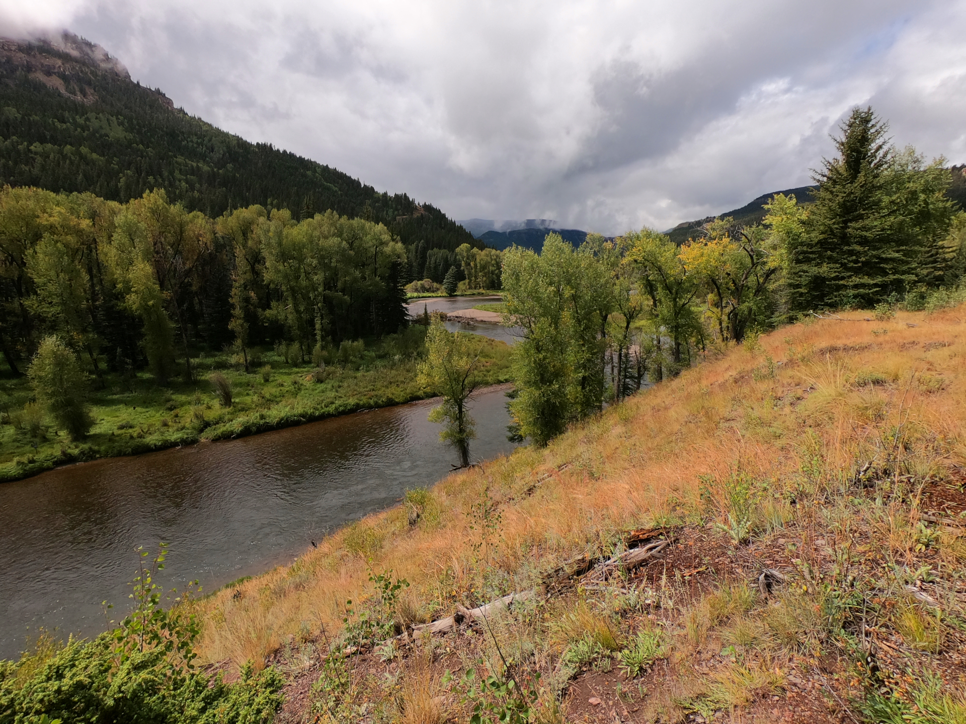
The Conejos River runs southeast, turns east toward Antonito, then empties into the famous Rio Grande. A dirt forest service road parallels the river from just below its headwaters, where the Conejos is briefly impounded at Platoro Reservoir – the highest large reservoir in the state at approximately 10,000 feet – to where it meets Colorado Highway 17. Over 80 miles of river – about 40 percent of which is public – offers quality brown and rainbow trout fishing, not counting the endless tributaries snaking in from the hillsides.

The Conejos emerges from fertile volcanic rock in the Rio Grande National Forest’s South San Juan Wilderness, just north of the New Mexico border. This is wild country – the last confirmed grizzly bear in Colorado was killed here in 1979 – and the area sees few visitors compared to the nearby Weminuche Wilderness. The nearest towns are Chama, New Mexico and Antonito, Colorado, and they’re as small as they come. The historic Cumbres & Toltec Scenic Narrow Guage Railroad transports the occasional tourist between Antonito and Chama, New Mexico, on a half-day journey over a 10,000-foot pass.


0 Comments